Classic Inca Trail Hike | 4-Day Trek to Machu Picchu
Only two versions of the Inca Trail hike actually arrive on foot at Machu Picchu. There are several alternative hikes that arrive at the ancient Inca site but only two where you arrive at the Sun Gate and see the site for the first time under your own steam. We look at the classic 4-day Inca Trail hike route below.
Please ask us about the shortened KM-104 hike also though, it is a great option if you want to hike but don’t have the time to fit in the 4 days, or maybe you don’t fancy the extra effort of the full-on trek? The KM-104 trek gives you the same view of Machu Picchu from the Sun Gate, but camping 1 night, instead of 3.
- Full Inca Trail hike package, designed to fit your other Peru visits.
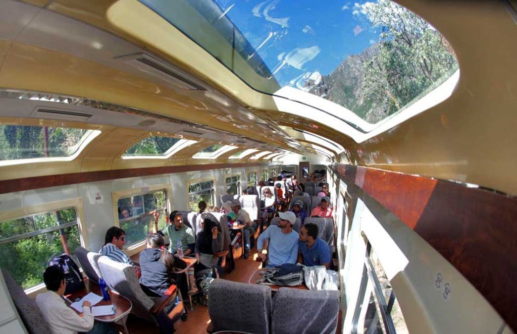
- Transport to the trailhead, train and bus back to Cusco at the end
- Guided tour of Machu Picchu and other Inca ruins en-route
- All camping equipment, tents, bedding, dining tent, etc.
- All food and snacks while on the trek, potable water
- Only carry your day pack, porters carry other baggage
- The camp is set for you before you arrive each afternoon
The vast majority of our clients do not choose the Inca Trail as a stand-alone visit here in Peru, they will ask us to add Cusco, Lima, the Amazon, or Lake Titicaca before and after the trek. Permits for the trek are highly controlled so contact us early to secure them, then build the rest of your program around those dates.
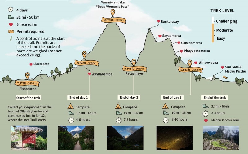
Don’t panic – the steepness is exaggerated on this map you will be pleased to know!
Inca Trail Hike | Day 1
Km 82 to Huayllabamba
Machu Picchu is situated in the region known as the Vilcabamba. This area extends between the Apurimac and Urubamba rivers where the 45km of this Inca Trail hike lies. Visitors from all around the world come to Peru, not only to see Machu Picchu but also want to experience the rigors and achievements of the classic 4-day Inca trail hike. Along the way, the natural scenery is breath-taking, linking Inca ruins with views of snow-capped mountains and the lush cloud forest vegetation.
You will most likely have spent the previous night in the Sacred Valley, so the journey today will be an hour or so to the KM-82 checkpoint, where we will begin the trail. After passing through the formalities the trail begins by first crossing the river Vilcanota, then takes a gentle route to the ruins of the Inca hill fort of Llactapata. Just before the ruins, there is our first tough climb of the trail. Fortunately, it is short-lived. After 4 to 6 hours of hiking, we spend the night in Huayllabamba camp.
Total distance: 7.5 miles
Estimated walking time: 4-6 hours
Maximum altitude point: 9840 ft
Campsite altitude: 9840 ft
Day 2 | Inca Trail Hike
Huayllabamba to Pacaymayu
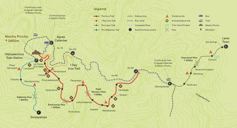
The Inca Trail Hike, plus the Salcantay and Lares routes
Heading off after breakfast we climb up from Huayllabamba until we reach the flat (ish) meadow of Llulluchapampa (8800ft). After a quick break, we will steal ourselves for the ascent of the Abra de Huarmihuañusca (meaning ‘Dead Woman’s Pass’), our highest point of the trail at 13800ft. The views are superb at the top and if you need an extra snack now just sit and enjoy. After the elation of having completed this section, the descent from the pass is steep but not difficult! Once we reach the valley floor we spend our second-night camping in Pacasmayo.
Total distance: 10 miles
Estimated walking time: 7-8 hours
Maximum altitude point: 13,800ft
Campsite altitude: 11,692 ft
Day 3 of the Inca Trail
Pacasmayo to Wiñay Wayna
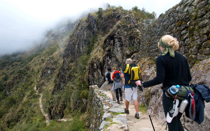
Today we climb to the ruins of Runkuracay and from here, and indeed all along the trail, the view of Pacamayo valley is spectacular. This was once a control point for the valley. From here we continue our trek to the second high pass of Abra de Runkuracay set at 12,470ft. Now walking along a cobbled path we again begin a deep descent until we reach Sayacmarca (meaning Inaccessible Town). Before reaching the 3rd pass of the day we walk through an astonishing cloud forest full of orchids, hanging mosses, tree ferns, and flowers, not to mention the Inca tunnel. The 3rd pass is at 11,800ft, before arriving at the most spectacular ruin so far; Phuyupatamarca (meaning Town in the Clouds). After this long day, we camp the night in Wiñay Wayna and you will surely sleep like a baby!
Total distance: 10 miles
Estimated walking time: 8-9 hours
Maximum altitude point: 12,864 ft
Campsite altitude: 8,845 ft
Arrival at Machu Picchu
Wiñay Wayna to Machu Picchu
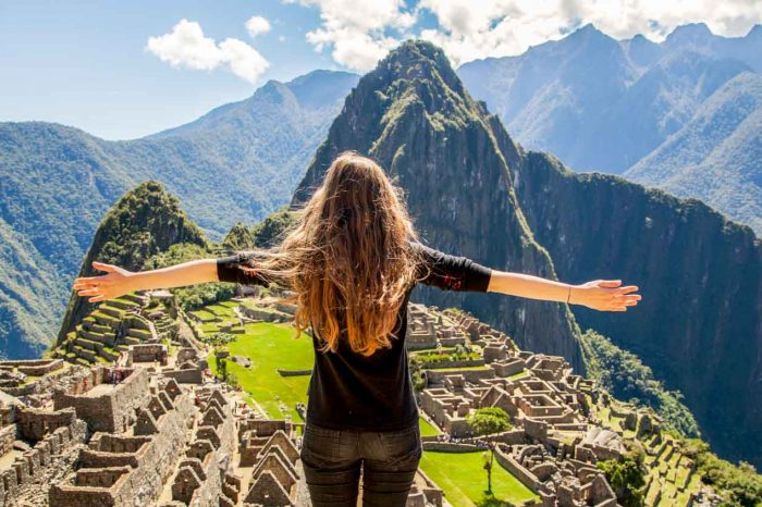
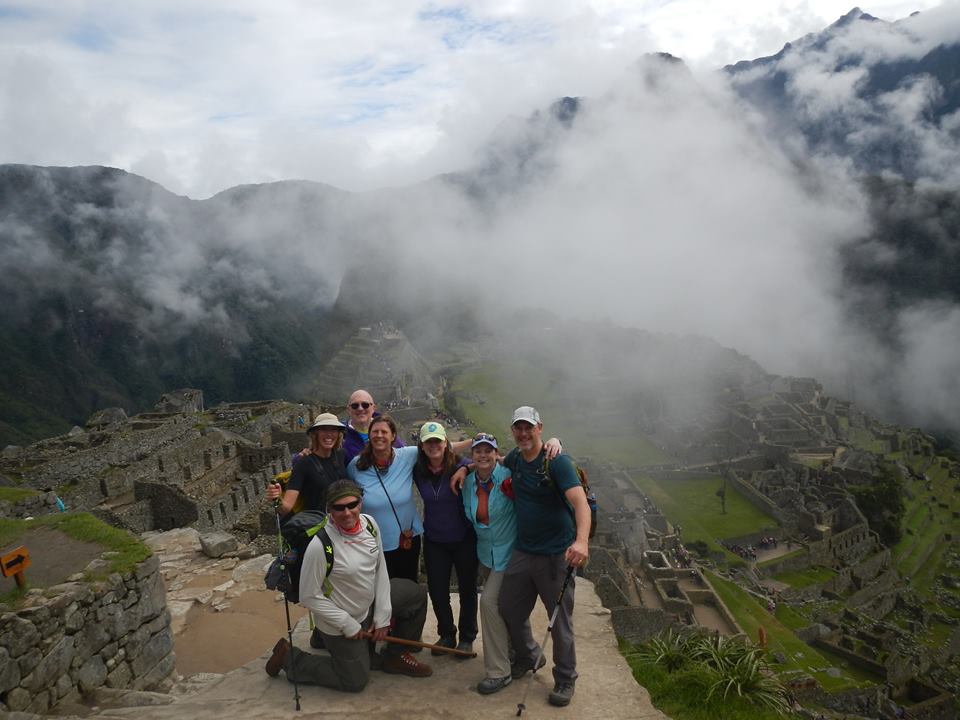
Off we go on the last leg of your Inca Trail hike, and you might see some wildlife as the trail contours a mountainside and into the cloud forest with fantastic flowers along the side of the trail and possibly colorful birdlife or small mammals. We arrive at the famous Intipunku (meaning ‘Sun Gate’) with a great sense of anticipation. If the clouds are clear you will get your first view of Machu Picchu, if not we will wait a while until they clear. You will be amazed at this vista, one of the most famous in the world.
The name Machu Picchu translates as ‘Old Mountain’, in contrast to the nearby peak of Huayna Picchu which means “Young Mountain”. Constructed by the Inca Pachacutec in the 15th Century, it was mysteriously abandoned 100 years later during the time of the Spanish conquest. It is generally believed that it was never discovered by the Spanish and simply disappeared into the jungle, hidden from western eyes until it was “discovered” by Hiram Bingham in 1911. He arrived with the help of local people who knew of its existence, and indeed there was actually a family living and farming amongst the ruins.
On arrival, we will enjoy a tour of Machu Picchu led by your guide who will lead you on a full exploration of the ruins – staircases, terraces, temples, palaces, towers, fountains and the famous sundial. You will then have some free time to explore the site by yourself. Finally, you will make your way to the town of Aguas Calientes below and your train heading back to Cusco.
Total distance: 3.5 miles
Estimated walking time: 3 hours
Maximum altitude point: 8,860 ft
Machu Picchu altitude: 7,872 ft

